Anhalt University of Applied Sciences is building a new research platform for airborne hyperspectral imaging. The offering includes technology and knowledge for the broad application of data from the thermal infrared range. The interdisciplinary project addresses issues from Agriculture, environmental planning and urban planning. A current publication describes the technical principles and initial test flights for the first time.
Precise data for climate-adapted land use
Whether it's drought stress in plants, heat islands in cities or soil sealing: thermal signals provide early indications of changes before the eye recognizes them. The "HyTIR" platform - which combines thermal infrared measurement with hyperspectral imaging - records thermal radiation and spectral properties of vegetation, soils and built-up areas. The data obtained in this way can help to detect environmental or condition changes at an early stage and to evaluate them in various fields of application.
Climate change is exacerbating the challenges: Longer periods of drought, extreme weather events and rising temperatures are putting pressure on ecosystems and settlements. At the same time, there is increasing pressure to use resources such as water more efficiently and to design urban districts in a climate-friendly way. Remote sensing technologies can help to monitor large areas in a targeted manner and adapt measures precisely.
Tapping into new wavelength ranges
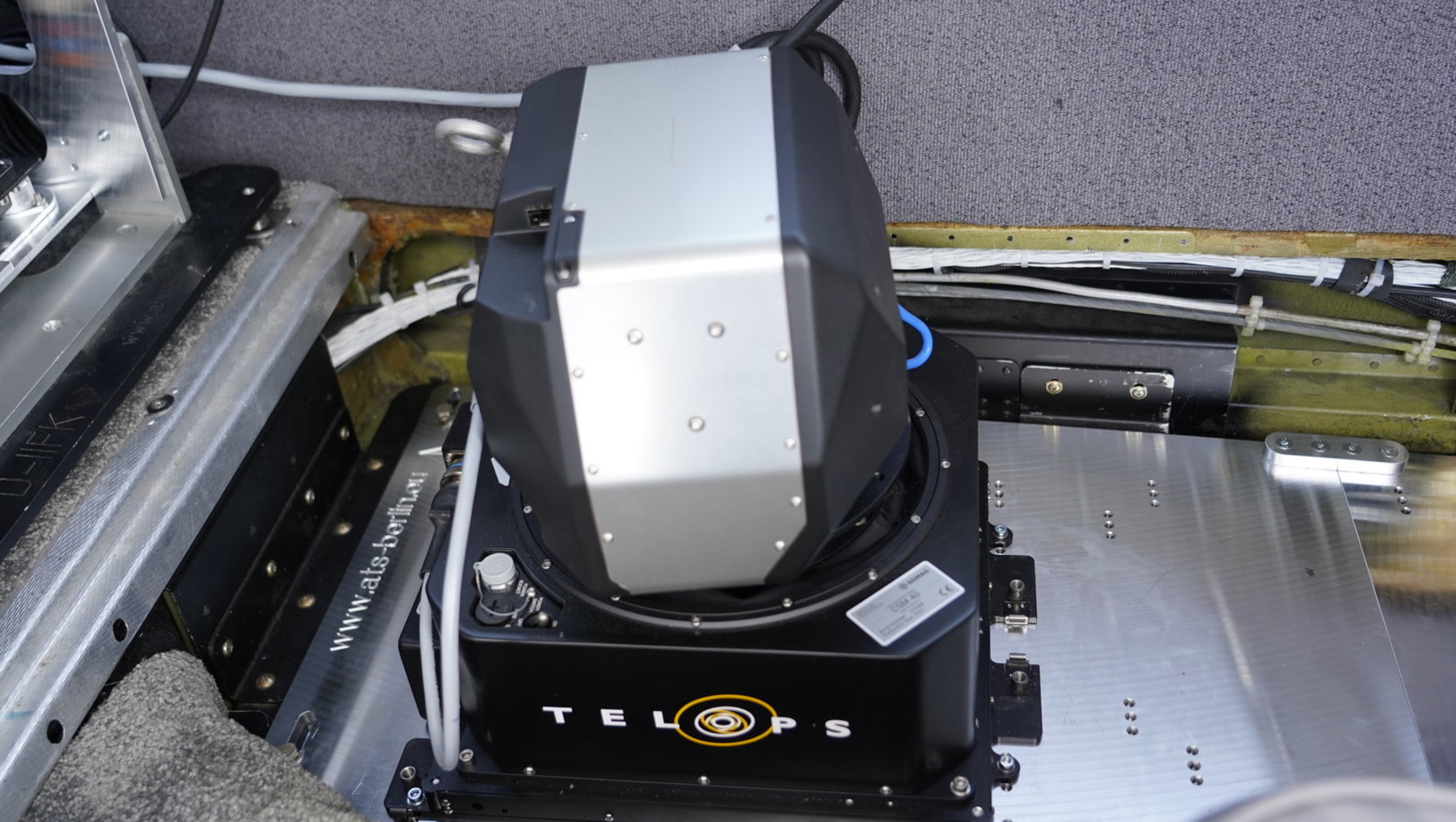
The heart of the future HyTIR platform is the Telops Hyper-Cam Airborne Mini. The camera operates in the wavelength range from 7.4 to 11.8 micrometers and thus captures a large part of the thermal infrared spectrum in up to 1000 channels. It not only measures the temperature of surfaces, but also analyzes their spectral properties. From an altitude of 1000 meters, the system achieves a ground resolution of 75 centimeters.
The special feature lies in Fourier transform infrared spectroscopy. This method makes it possible to specifically adapt wavelength ranges and thus develop new indicators for the credits of ecosystems and agricultural areas. "We can include the electromagnetic spectrum with other ranges in the analyses and thus work on the basic understanding of where application-related essential information is contained," explains Professor Marion Pause from the Department of Architecture, Facility Management and Geoinformation at Anhalt University of Applied Sciences.
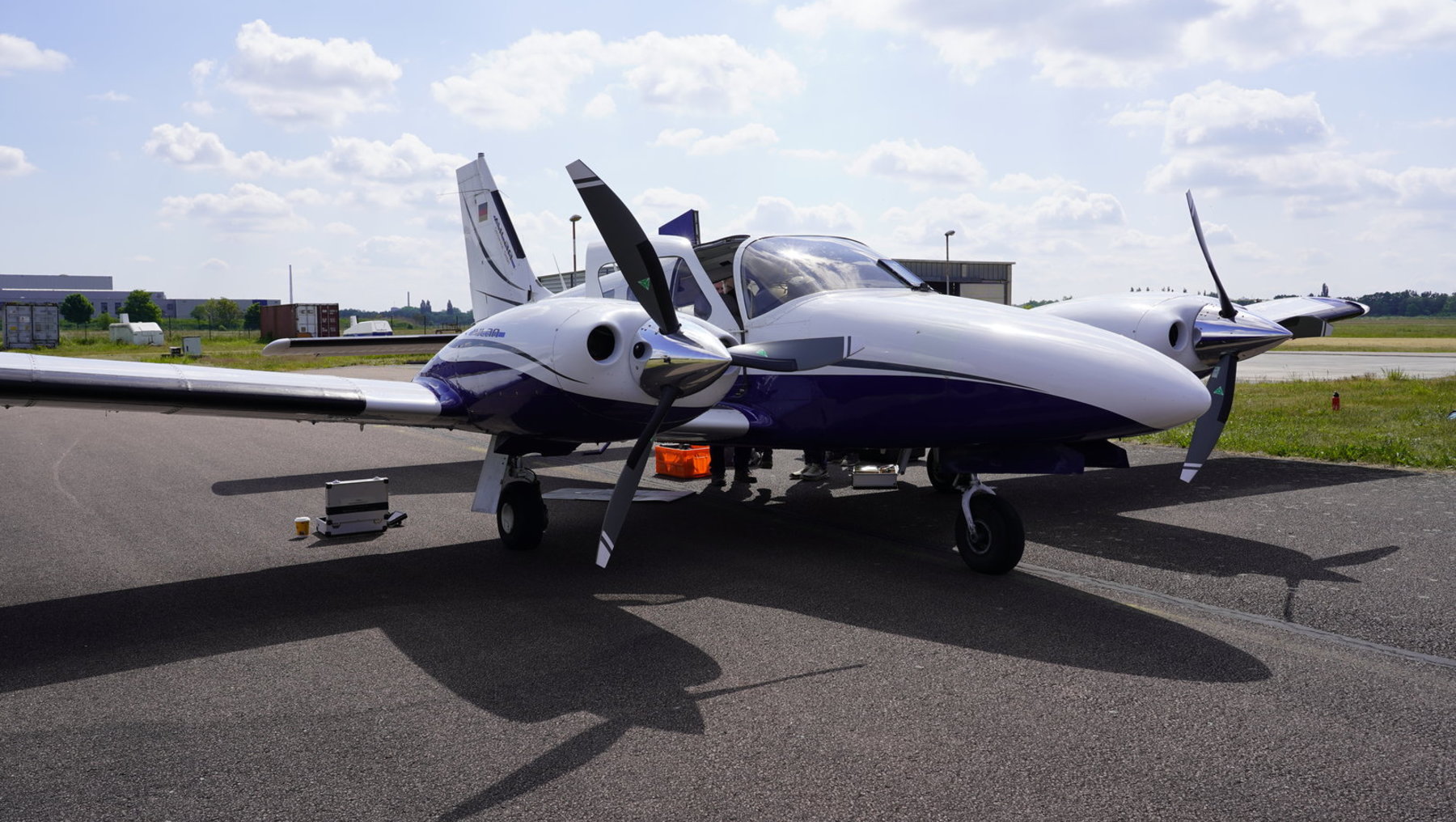
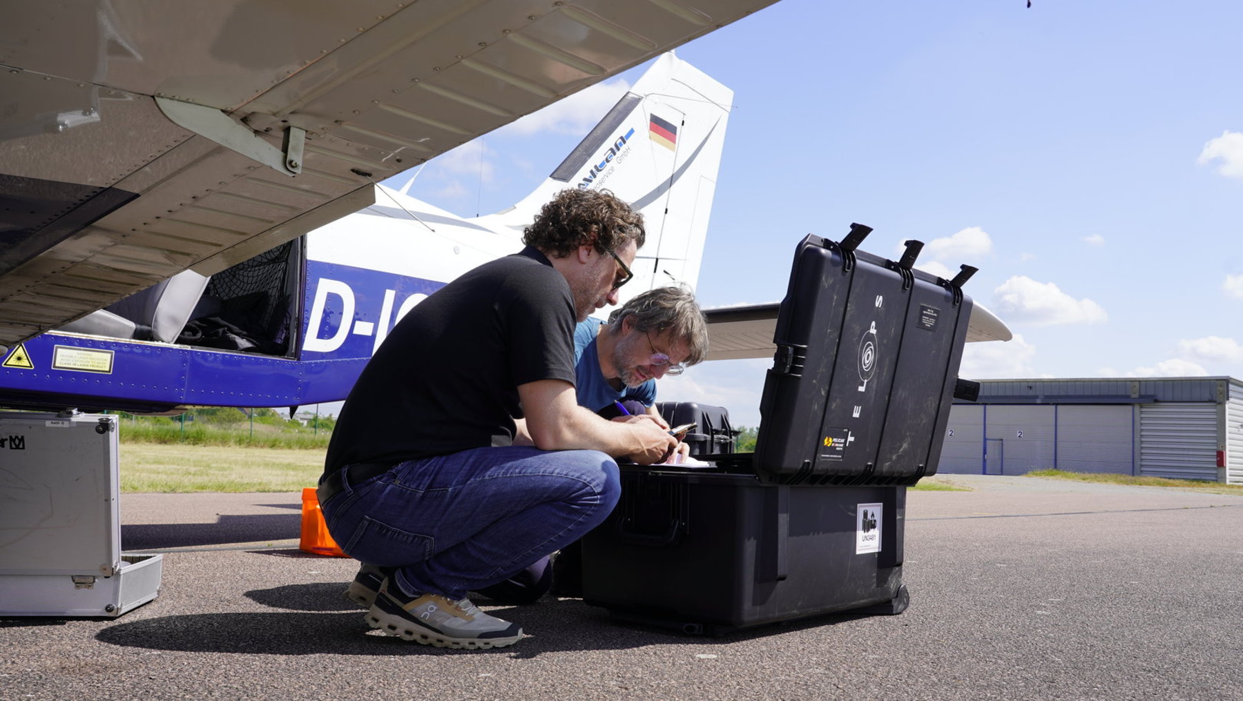
The camera can be flexibly integrated into various research aircraft. The first test flights took place in May 2025 with a Diamond DA-62 and a Piper 28 D-EDTS over areas in Bernburg and Dessau. The system can combine the thermal camera with other sensors for the visible and near-infrared range as well as for short-wave infrared. This combination will enable comprehensive multi-sensor campaigns in the future.
Focus on early detection of drought stress
The first test flights concentrated on proving the functionality of the technology. The research team successfully put the camera into operation and trained the employees. Now the scientific applications are beginning. In the DiPredict project, for example, the researchers will investigate the early detection of drought stress in wheat. "The Telops Hyper-Cam enables a targeted and differentiated examination of the electromagnetic spectrum emitted by the crops," says Professor Uwe Knauer from the Department of Agriculture, Ecotrophology and Landscape Development at Anhalt University of Applied Sciences.
While conventional thermal imaging cameras already provide indications of water deficiency, the new technology allows a much finer analysis. The hyperspectral resolution reveals subtle differences in thermal emission that indicate the onset of stress before it becomes visible.
Strategic realignment of the research infrastructure
The HyTIR platform is part of the strategic realignment of remote sensing at Anhalt University of Applied Sciences. It had already discontinued the use of the gyrocopter in the fall of this year in order to focus on other types of aircraft and satellite data. "This allows us to carry out measurement campaigns more efficiently and sustainably," explains Professor Marion Pause.
This has been demonstrated in particular by the first aerial surveys of the areas in Dessau and Bernburg with the Telops Hyper-Cam Airborne Mini. In Bernburg, the university is conducting several field tests and sensor networks. The region lies in the rain shadow of the Harz Mountains and receives comparatively little rain with an average of 516 millimetres of precipitation per year - similar conditions to those that are becoming more frequent elsewhere due to climate change.
Versatile applications in various disciplines
The data obtained will be used in various areas in the future. In environmental planning, they can help to evaluate ecosystems and develop protective measures. In urban planning, they will provide information on heat islands, degrees of sealing and the cooling effects of vegetation. In Agriculture, they will enable site-specific irrigation and fertilization strategies. The technology also offers potential for plant breeding, for example in identifying varieties that are better able to cope with drought stress.
Next, the team plans to hold workshops and apply for further research projects. The HyTIR platform will also be available to other research groups. Interested parties can define research areas and carry out joint measurement campaigns. One possibility: the Anhalt University of Applied Sciences team will be represented with a session at the EGU conference in Vienna from May 3 to 8, 2026. Researchers and practice partners can find out more via this link: https://www.egu26.eu/session/58479
Funding and cooperation
The Telops Hyper-Cam Airborne Mini was procured thanks to funding from the German Research Foundation (DFG-Großgeräte 2022, funding number 514067990). The HyTIR platform is a joint initiative of Professors Uwe Knauer, Marion Pause, Lutz Bannehr, Annette Deubel and Matthias Pietsch. The aircraft integration was supported by the companies GeoFly and Milan.
Publication:
Knauer, U., Pause, M., Sander, B. (2025): HyTIR - an airborne hyperspectral imaging research platform in the LWIR wavelength range. International Archives of Photogrammetry, Remote Sensing and Geoinformation Sciences, Volume XLVIII-M-7-2025, 157-162.
DOI: doi.org/10.5194/isprs-archives-XLVIII-M-7-2025-157-2025
Contact:
Prof. Dr. Uwe Knauer
Anhalt University of Applied Sciences, Department of Agriculture, Ecotrophology and Landscape Development
E-mail: uwe.knauer@hs-anhalt.de
Prof. Dr. Marion Pause
Anhalt University of Applied Sciences, Department of Architecture, Facility Management and Geoinformation
E-mail: marion.pause@hs-anhalt.de
