The Applied Geoinformatics and Remote Sensing working group focuses on the use of new technologies in urban and environmental planning and nature conservation. In addition to working on practice-oriented research projects in cooperation with scientific research institutions and practical partners from Administration and Economics, it organizes training courses and specialist conferences.
Key areas of work include the investigation of GIS-based methods in environmental and urban planning, the implementation of landscape change analyses at different scales and standardization.
Since the WG was founded in 2016, various R&D projects and service contracts have been completed. The working group is also active in standardization initiatives (e.g. XPlanung, buildingSmart).
-
 © AG Pietsch
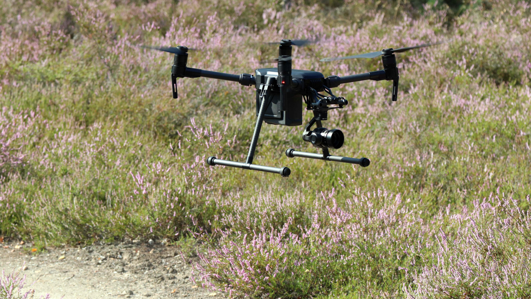
Drohnenflug -
 © AG Pietsch
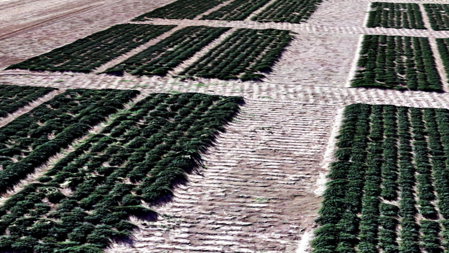
Thymian Wachstumsvergleich

Main research areas
Use of GIS-based methods and remote sensing data in environmental planning:
- Development and application of GIS-based analyses in environmental planning and nature conservation
- Use of GIS-based methods for the planning and implementation of biodiversity-promoting measures and the development of multifunctional cultural landscapes
- Conception and development of knowledge-based decision support systems for the optimization of green infrastructure and sustainable urban-rural concepts
- Analysis of landscape changes using different sensor (RGB, thermal, multispectral) and carrier systems (UAV, aircraft, satellites)
- Elaboration and development of monitoring concepts
- Development and implementation of indicator systems for different monitoring systems
- Standardization projects (professional and technical) in the field of nature conservation, landscape and urban land use planning (e.g. derivation of professional minimum standards)
- Development of specialized data models and their practical and technical implementation
- Habitat modeling
