More and more municipalities, nature parks, and those responsible for landscapes and land use are facing the question: How do we adapt to climate change? Remote sensing data and digital planning tools can provide significant support in this regard —if used correctly. In this interview, Prof. Dr. Matthias Pietsch explains suitable methods for climate adaptation based on his scientific experience.
Climate Adaptation Through Remote Sensing: How Data Can Help
-
 © hochschule anhalt | matthias pietsch
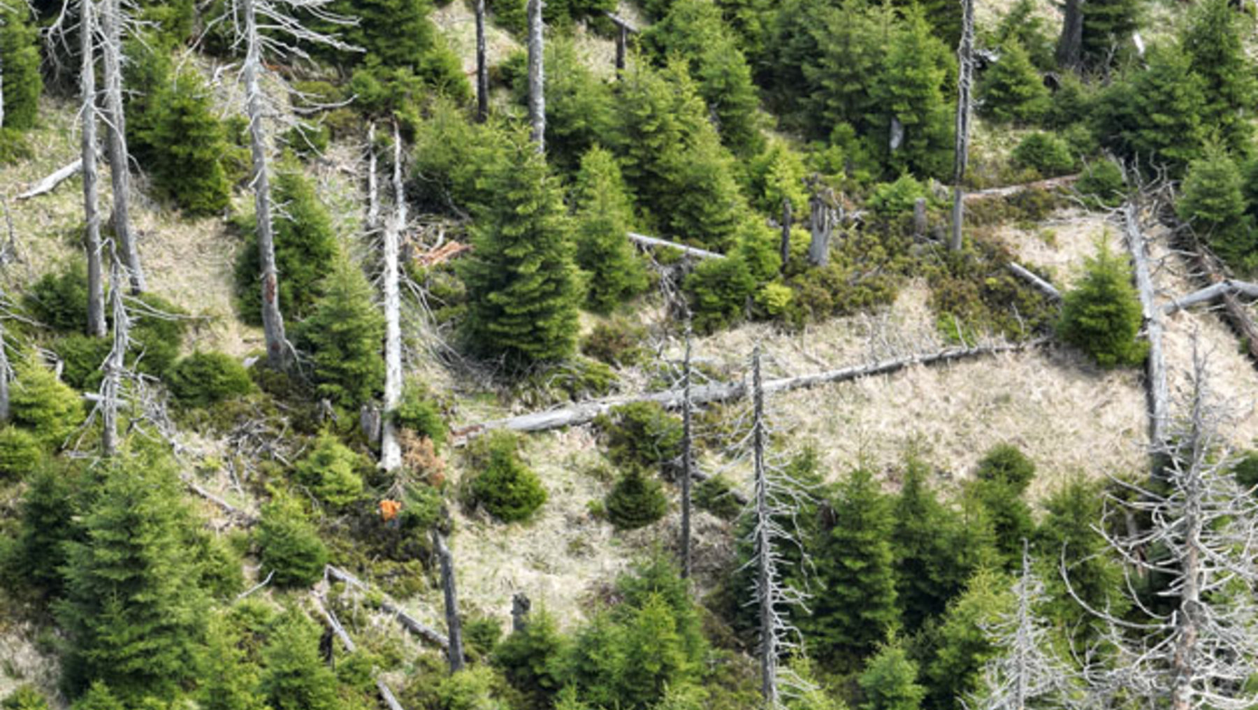
Discussions with representatives from municipalities or regions focus on developing location-specific, optimized solutions.
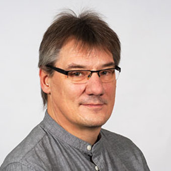
Prof. Dr. Matthias Pietsch
Prof. Pietsch, what specific inquiries from municipalities and regions are you currently receiving most frequently, and what does that reveal about the current urgency to act?
This issue becomes particularly relevant when heat waves occur, as they have in the recent past. But the tangible and visible effects—such as dying trees and shrubs, drying-up bodies of water, and an increase in the number of hot days—also raise awareness of the issue. Discussions with representatives from municipalities and regions focus on developing location-specific, optimized solutions. In addition, there is growing interest in the use of remote sensing data to analyze and assess the respective study areas. Opportunities for public participation and the development of information systems are also playing an increasingly important role.
How can remote sensing data and digital planning tools help identify opportunities that are suitable for both climate adaptation and climate mitigation?
With the help of remote sensing data, heat islands and cooling areas can be identified at the local level and analyzed and compared over long periods of time. In addition, it is possible to assess the effectiveness of measures that have already been implemented, such as tree planting. Furthermore, the performance of existing landscape elements—such as hedges or wetlands—can be assessed, and potential areas for optimization can be identified. Digital planning tools support the selection of suitable sites for renewable energy or optimal locations for climate protection and climate adaptation measures. Different scenarios and their potential timelines for implementation can be identified. Furthermore, these tools can support public participation processes and help establish monitoring systems.
-
© hochschule anhalt | matthias pietsch
-
 © hochschule anhalt | matthias pietsch
-
 © hochschule anhalt | matthias pietsch
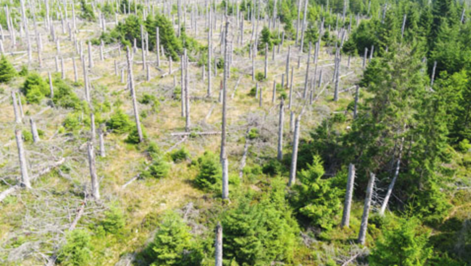
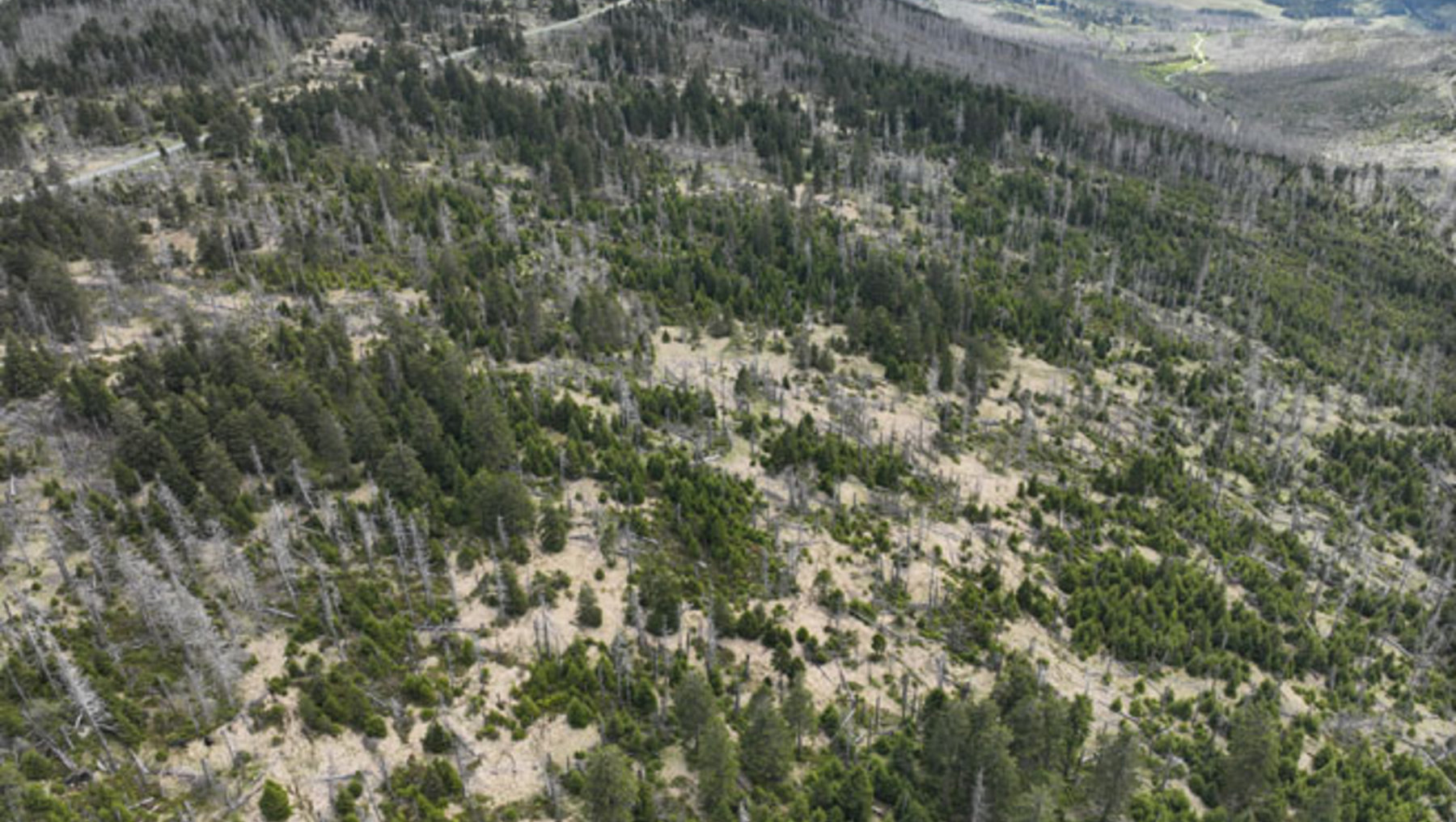
The various views of the forest in the Harz Mountains show clear signs of damage. But what conclusions can be drawn from this? How can the image data help with long-term conservation? These are some of the questions that Matthias Pietsch and his team are asked by those working in the field.
Your new project focuses on natural climate adaptation through landscape planning. Can you give an example of where this could be implemented in practice?
Existing land uses and landscape structures—such as grasslands, forests, and hedgerows—contribute to natural climate adaptation by, for example, storing CO2, cooling the ambient temperature, or producing fresh air, which can have a balancing effect during periods of intense heat. Green spaces and vegetation, such as green roofs and green facades, make a particularly significant contribution in this regard. Through intelligent planning and proper maintenance of tree and shrub populations, this function can be ensured in the long term. By analyzing the existing stock and the quality of green spaces and their components within a city, the need for additional areas is determined, and potential maintenance or redesign requirements are identified. This is currently being carried out in a very concrete manner as part of a pilot project in collaboration with the city of Bernburg (Saale).
Existing land uses and landscape structures contribute to natural climate adaptation. Through smart planning, this function can be safeguarded in the long term.
Prof. Dr. Matthias Pietsch
Where do you see the biggest obstacles when it comes to translating scientific findings into planning practice? How can these be overcome?
Research and development projects often involve complex analytical methods and data sets that have not yet become established in practice. The results that can be achieved through these efforts can make a significant contribution to addressing current challenges. However, it is evident that both planning firms and administrative agencies do not always possess the full range of knowledge and technical prerequisites required to directly translate scientific findings into practice.
To achieve this more effectively in the future, close collaboration and knowledge transfer between academia and the field are necessary. To this end, the appropriate resources must be established within administrations. In turn, the scientific community must, for example, evaluate the practical feasibility of the developed solutions through model and pilot projects and translate them into a form that can be implemented. Training and knowledge-transfer programs must be developed to ensure that these findings can be applied quickly and effectively.
What advice would you give to local governments and other stakeholders who want to start addressing climate adaptation and climate protection now? Where should they begin?
Many municipalities and stakeholders are already working intensively on the issues of climate adaptation and climate protection. To this end, various strategies are being developed nationwide at different levels of government. These include, among other things, the development of municipal landscape plans, thermal planning, climate adaptation strategies, and integrated urban development strategies. These differ in their objectives as well as in the target audiences they are intended to engage in order to implement the measures developed.
In my view, a comprehensive analysis of the current situation, its evaluation, and—building on that—an assessment of potential and possible courses of action is a sensible starting point for addressing this topic. One suitable approach, for example, is the creation of a municipal landscape plan, as this addresses all functions of the natural ecosystem. If an up-to-date plan already exists, it can be supplemented with a section on climate protection and adaptation. This makes it possible to identify the areas where urgent action is needed. Furthermore, this allows for the derivation of location-specific conclusions regarding particularly vulnerable population groups or facilities for which there is a high need for action.
At the same time, however, the areas that already provide a high level of protection—and are therefore worthy of protection—are identified, as are those where action is needed. On this basis, priorities can then be set in consultation with the public, affected stakeholders, as well as the Administration and political bodies, in order to implement the proposals in a solution-oriented manner. In this process, a review of the measures’ effectiveness should be planned to draw conclusions for further implementation and thereby enable future optimization in terms of both cost and impact.
 © HS Anhalt
Links for Further Reading and Information
Another article on the Climate Blog: “Digitalization in Nature Conservation: The Example of Meadow-Breeding Birds” https://www.hs-anhalt.de/hochschule-anhalt/aktuelles/neuigkeit-1/digitalisierung-im-naturschutz-das-beispiel-wiesenbrueter.html
Planning tools for municipalities, compensation measures, natural climate protection: All projects of the working group led by Prof. Dr. Matthias Pietsch can be found on this website: https://www.hs-anhalt.de/hochschule-anhalt/loel/forschung/angewandte-geoinformatik-und-fernerkundung/projekte.html
Prof. Dr. Matthias Pietsch
... can be reached for questions and inquiries by phone at +49 (0) 3471 355 1140 or by email at or matthias.pietsch(at)hs-anhalt.de.
He also posts about current events and projects on his LinkedIn profile.
Recent publication: “Integrating scenario-based learning and design thinking to strengthen climate resilience in Landscape Architecture education” / Sedlacek, Jozef. — Included in: Discover Cities, Vol. 3 (2026), pp. 1–15.
