In a few weeks, the Saxony-Anhalt Geobasis Twin is set to be made publicly available: a data-driven representation of the state that can support municipalities in planning and climate adaptation. How geodata serves as the foundation for this and what role Anhalt University of Applied Sciences plays in the process.
Geodata for Municipalities: Saxony-Anhalt Is Developing a Digital Twin
-
 © hochschule anhalt
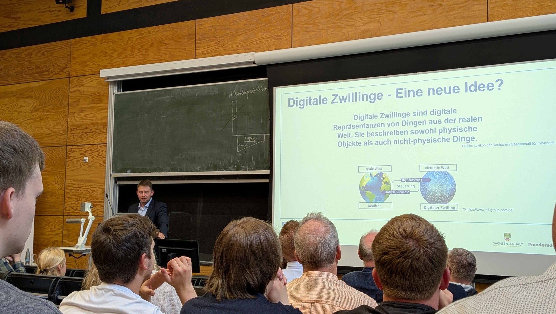
Am 9. Juli stellte Niklas Müller vom Landesamt für Vermessung und Geoinformation Sachsen-Anhalt die Idee des Digitalen Zwillings für das Land vor. Anlass war das Geodätische Kolloquium an der Hochschule Anhalt in Dessau. -
© hochschule anhalt
Am 9. Juli stellte Niklas Müller vom Landesamt für Vermessung und Geoinformation Sachsen-Anhalt die Idee des Digitalen Zwillings für das Land vor. Anlass war das Geodätische Kolloquium an der Hochschule Anhalt in Dessau.
Saxony-Anhalt is on the verge of releasing a digital twin of the state. The so-called “Geobasis Twin” consolidates geobasis data—standardized, georeferenced information about the Earth’s surface—into a single platform, making it accessible to government agencies, municipalities, and the public. Niklas Müller from the Saxony-Anhalt State Office for Surveying and Geoinformation (LVermGeo) presented the project on July 9, 2026, at the Geodetic Colloquium at Anhalt University of Applied Sciences.
Put simply, a digital twin is a true-to-scale model of the real world: buildings, roads, bodies of water, and green spaces are recorded, structured, and geolocated. Those planning changes can simulate them in the model before implementing decisions in practice. For municipalities, this means a good foundation for heating planning, transportation strategies, or managing extreme weather conditions.
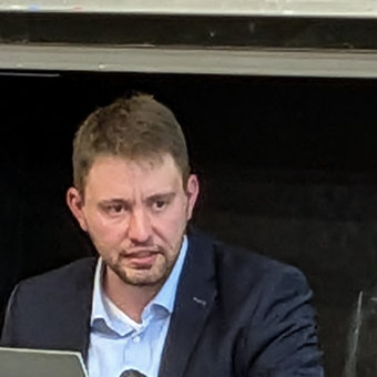
The idea arose as a potential application for geodata that the state has gradually made available in recent years as open data. Now it’s time to put it to use.
Niklas Müller
Open Data as a Starting Point
The idea arose as a potential application for geobasis data that the state has gradually made available in recent years in line with open data principles. “Now it’s time to put it to use,” says Müller.
The Saxony-Anhalt Surveying and Geoinformation Act (VermGeoG LSA) stipulates that the “state’s geobasis information system is to serve as the spatial reference and organizational foundation for spatial-based specialized information systems.” The LVermGeo manages this system and structures the data in a standardized manner.
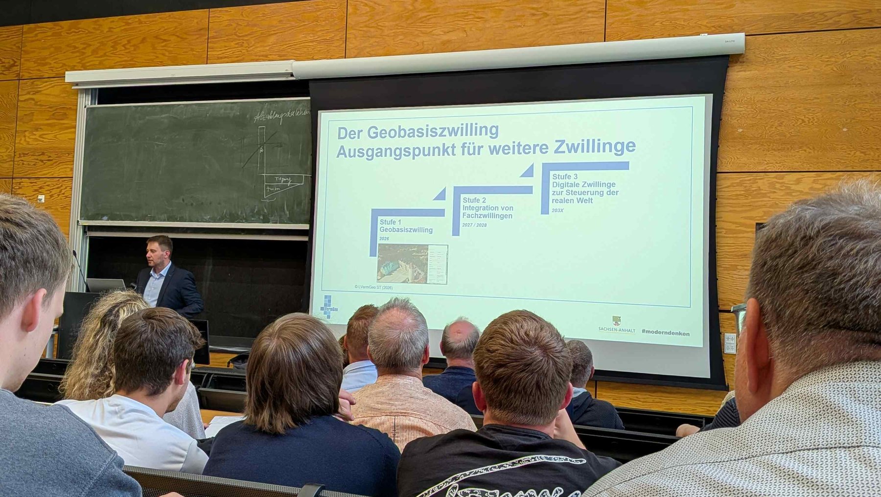
The Geobasis Twin will later be followed by so-called “specialized twins.” These thematic extensions have a specific focus, such as transportation, the environment, or infrastructure.
Specific Applications: From Heat to Flooding
Municipal Heating Planning. Cities and municipalities are legally required to develop a heating plan that outlines how the local heating supply is to be transitioned to renewable energy by 2045. To do this, municipalities need geospatially accurate information: Where are the district heating networks located? Which areas are suitable for geothermal energy, and where does district heating make sense? Geodata provide the spatial basis for these decisions and make it possible to compare supply options.
Rural Road Concepts. In sparsely populated regions, it is difficult to systematically assess the condition of farm roads and field paths. Geodata enables a structured inventory and prioritization. This is particularly helpful for municipalities with limited resources.
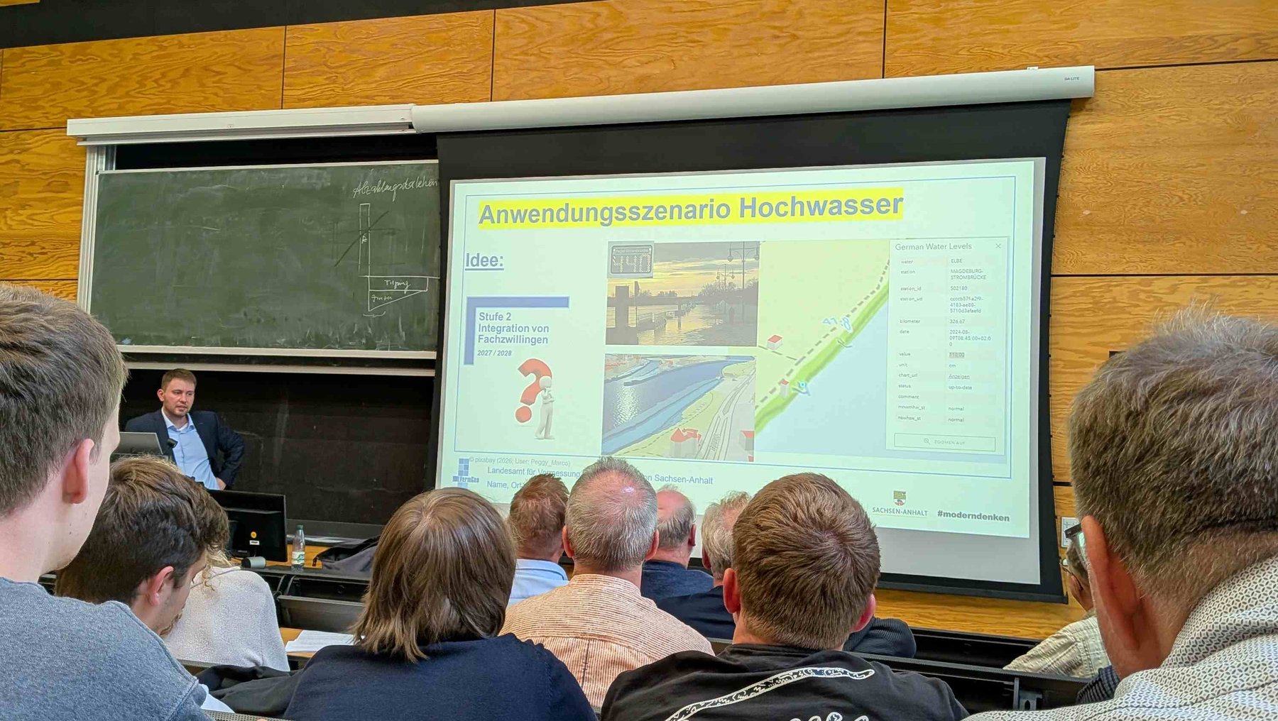
Flood management. During a flood event, the digital twin shows which areas are affected, where critical infrastructure is located, and which population groups are particularly at risk—such as intensive care patients in a nearby hospital. This lays the groundwork for faster, more targeted decisions.
The vision behind the digital twin is an even closer integration of data and day-to-day administrative work: a quick overview of drought stress, waste volumes, or traffic conditions, to which immediate action can be taken. According to Müller, this is still a future prospect and will likely be feasible sometime in the 2030s, but the goal is clear.
-
 © hochschule anhalt
-
 © hochschule anhalt
-
 © hochschule anhalt
Digital Twins for Municipalities: A Technical and Organizational Challenge
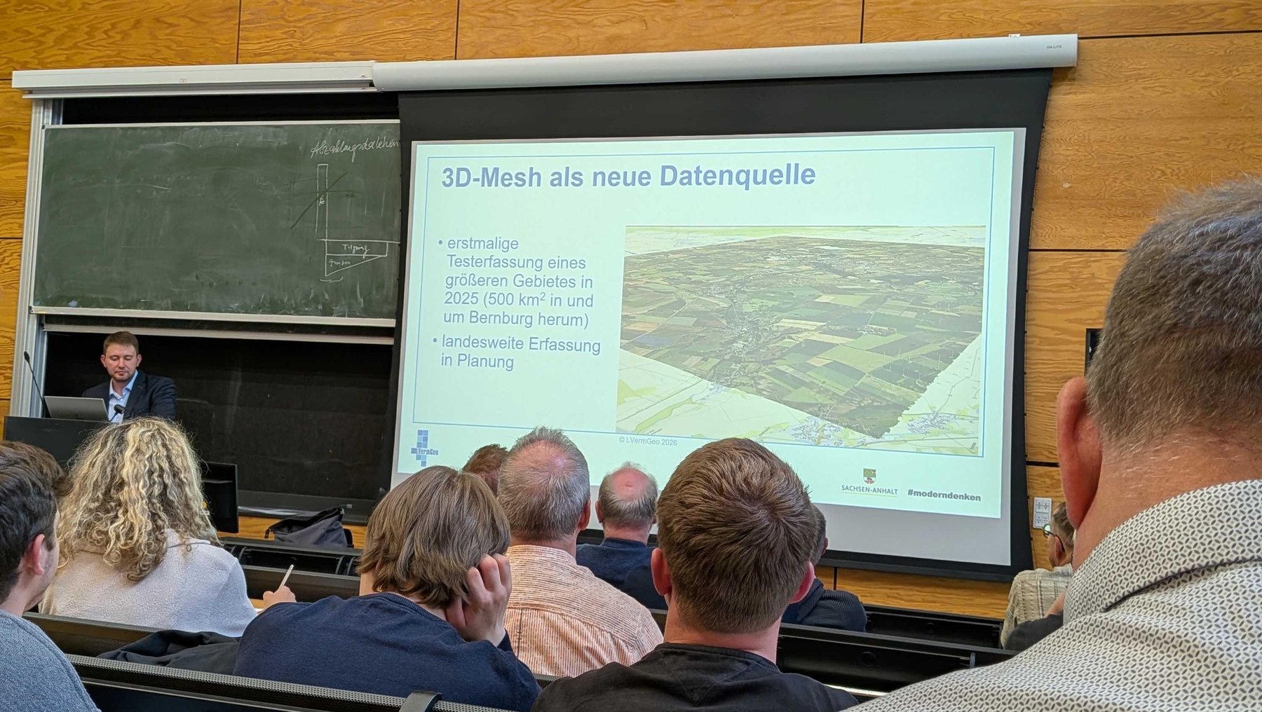
Implementing the Geobasis Twin is already a challenging task. Different data standards, 2D and 3D data, various types of specialized data, and user-friendly application interfaces must be integrated. To this end, the LVermGeo is collaborating with the State Road Construction Authority, municipalities, the Ministry of Infrastructure and Digital Affairs, local transportation organizations, and research institutions.
Beyond the technical aspects, a fundamental question arises: How can available data be turned into applications that actually provide value? At the end of his lecture, Müller explicitly posed this question to the students in the auditorium. Bachelor’s and master’s theses on concrete applications of the digital twin have a good tradition at Anhalt University of Applied Sciences. The topic serves as a starting point for new research questions.
The University and the State Office: A Long-Standing Relationship
Müller completed his degree program in Surveying and Geoinformatics between 2020 and 2025 at the Campus Dessau of Anhalt University of Applied Sciences. His experience is not unique: A large number of dual-track students in this degree program have the LVermGeo as their industry partner. The university provides the education, while the State Office feeds current practical requirements back into the curriculum.
This connection is also evident in the Geodetic Colloquia, which the Institute for Geoinformation and Surveying has been organizing for over 20 years. Three times per summer semester, researchers, students, and experts from government agencies and companies come together. The lecture hall was good in terms of attendance on July 9: in addition to students and university staff, the event was attended by the President of the LVermGeo, Cordula Jäger-Bredenfeld, as well as representatives from the City of Dessau and the German Association for Surveying in Saxony-Anhalt, which also presented awards for the good master’s theses of the year on this occasion.
“Communication and exchange are essential for further development and innovation,” says Prof. Dr. Marion Pause. “The thematic diversity of the presentations also reflects the broad scope of geodesy.”
 © hochschule anhalt | marion pause
Remote Sensing as a Perspective for the Digital Twin
The data currently fed into the Geobasis Twin comes primarily from traditional surveying and official sources. At the same time, new data is being generated. For example, the Photogrammetry and Remote Sensing Research Group led by Prof. Dr. Marion Pause is conducting research on technologies that could be relevant for future applications. The German Research Foundation (DFG) is funding the institute’s use of a hyperspectral camera in the thermal infrared range. It captures wavelengths beyond the visible light spectrum, thereby revealing what the human eye cannot perceive: drought stress in forests, temperature distributions in agricultural landscapes, and changes in soil moisture. In the long term, such data could also be utilized for applications in the digital twin.
Professionals for Data-Driven Administration
At the conclusion of the colloquium, the question arose as to what skills future professionals will need to effectively apply geodata. Technical knowledge—such as working with application programming interfaces (APIs)—is certainly a prerequisite, according to Niklas Müller. At least as important are project management skills, a willingness to collaborate, and the ability to think beyond disciplinary boundaries.
Anyone who wants to translate data into useful applications needs both technical expertise and an eye for societal needs. This combination also reflects the vision that Anhalt University of Applied Sciences pursues with its Surveying and Geoinformatics degree program. For more than two decades, the Geodetic Colloquia have highlighted this mission by serving as a forum for exchange between academia, Administration, and the professional field.
The Saxony-Anhalt Geobasis Twin is expected to be publicly accessible shortly. Further information on the Surveying and Geoinformatics degree program, as well as on research projects at the Institute for Geoinformation and Surveying, can be found on the Anhalt University of Applied Sciences website.
More on Prof. Dr. Marion Pause’s remote sensing research:
Climate Change from Above, Part 1, and Heat in 3D: Remote Sensing for Urban and Landscape Planning
Redaktion
Claudia Aldinger
Program and information on the 2026 Geodetic Colloquium: https://dvw.de/st/neuigkeiten/geodaetische-kolloquien-2026
About the Department of Architecture, Facility Management and Geoinformation: https://www.hs-anhalt.de/hochschule-anhalt/architektur-facility-management-und-geoinformation/uebersicht.html
